Last updated: 29 July 2026
1. Who we are
"What's Above Me?" (the "Service") is provided by Caltechnics ("Caltechnics", "we", "us"). By creating an account or using the Service, you agree to these Terms & Conditions ("Terms"). If you do not agree with them, please don't use the Service.
2. Eligibility
You must be at least 18 years old, and able to enter into a binding contract, to create an account or take out a subscription.
3. Your account
You can sign in with Google or a supported email and password. You're responsible for keeping your login details secure and for all activity on your account. Accounts are personal to you and may not be shared, sold, or transferred to anyone else.
4. Subscriptions, free trial & billing
Some features require a paid subscription. Where a free trial is offered, it currently runs for 7 days; unless you cancel before it ends, your payment method will then be charged the subscription price shown to you at sign-up, and billing continues monthly until you cancel. We may change our prices from time to time — any change applies to future billing periods, and we'll make reasonable efforts to give existing subscribers advance notice. You can cancel at any time from within the Service ("Manage subscription"); cancellation takes effect at the end of the billing period you've already paid for, and we don't provide refunds for the unused part of a period except where the law requires it.
5. Free or complimentary access
At our discretion we may give certain accounts free or discounted access — for example for family, friends, or promotional purposes. We can withdraw or change this at any time.
6. Aircraft & flight data — please read carefully
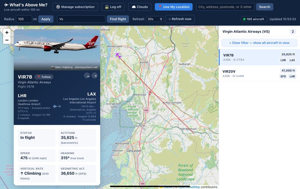
The Service shows aircraft positions, routes, schedules, weather, and related details sourced from third-party APIs and community data providers, including community ADS-B receiver networks and public aviation datasets. All such data is supplied to us by those third parties, and we have no control over — and give no guarantee of — its accuracy, completeness, or timeliness. This data can be delayed, incomplete, estimated, or simply wrong, and coverage varies by location and aircraft.
The Service is provided for general interest and informational purposes only. It must not be used or relied on for air navigation, air traffic control, flight planning, or any other safety-critical or operational aviation decision. Always use official, certified sources for anything safety-related.
7. Acceptable use
You agree not to: use automated tools to scrape, mirror, or bulk-extract data from the Service; try to reverse engineer, decompile, or bypass any technical protection or usage limit; resell, sublicense, or redistribute the Service or the data it shows; use the Service in a way that could interfere with, overload, or damage it (or the shared third-party data quotas it relies on); or use the Service for any unlawful purpose.
8. Intellectual property
The Service, its design, and its underlying software belong to Caltechnics or its licensors, and are protected by copyright and other laws. We grant you a personal, non-exclusive, non-transferable, revocable licence to use the Service for its intended purpose. Nothing in these Terms transfers any ownership rights to you.
9. Third-party services
The Service relies on, and links to, third-party data providers and services. We don't control, and aren't responsible for, their availability, accuracy, or content, and using them may be subject to their own separate terms.
10. Suspension & termination
We may suspend or end your access to the Service, with or without notice, if we reasonably believe you've broken these Terms or used the Service in a way that could harm us, other users, or our third-party data providers. You can stop using the Service and cancel your subscription at any time.
11. The Service is provided "as is"
The Service is provided on an "as is" and "as available" basis. We don't guarantee it will be uninterrupted, error-free, or available at all times, and we make no warranty about the accuracy, completeness, or reliability of any data it shows.
12. Limitation of liability
Nothing in these Terms excludes or limits our liability where the law doesn't allow us to (for example, for death or personal injury caused by our negligence, or for fraud). Subject to that, to the fullest extent the law allows, Caltechnics' total liability to you arising out of or in connection with the Service — whether in contract, tort, or otherwise — is limited to the amount you paid for your subscription in the single most recent monthly billing period. We aren't liable for any indirect or consequential loss, or for any decision made in reliance on data shown in the Service.
13. Changes to these Terms
We may update these Terms from time to time. If we make a material change, we'll take reasonable steps to let you know — for example with a notice inside the Service. Continuing to use the Service after an update means you accept the new Terms.
14. Governing law
These Terms are governed by the laws of England and Wales, and any dispute is subject to the exclusive jurisdiction of the courts of England and Wales.
15. Contact
Questions about these Terms? Contact us at info@caltechnics.com.